
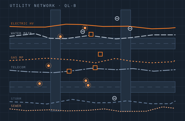
Utility Mapping
Utility owners rarely lack data. They have decades of it, in incompatible formats, at inconsistent accuracy, with the authoritative version depending on who you ask. What they lack is a network that is traceable end to end.
We consolidate that material into a validated network dataset. As-built records, field survey, GPR interpretation, existing GIS layers and CAD drawings are brought to a common reference frame, features are captured with the attributes your asset management system needs, and connectivity rules are enforced so the network can actually be traced, isolated and analysed.
Positional confidence is recorded per feature rather than averaged across the dataset, because the difference between a surveyed main and a main digitised from a 1970s sketch matters enormously to anyone about to excavate.
What you receive
Every item below is issued in your own template, with your layer conventions, title block and revision scheme.
- Network geometry — mains, services, laterals, ducts and routes
- Point assets — valves, hydrants, chambers, poles, transformers, joints
- Attribute capture to your asset schema with domain enforcement
- Connectivity and geometric network build with tracing verified
- Positional accuracy classification recorded per feature
- Source and provenance attribution on every feature
- Topology validation and error resolution report
- Network schematics and strip maps where required
- Delivery to enterprise geodatabase, PostGIS or your utility model
Production detail
| Typical turnaround | 2–8 weeks per phase by network extent |
|---|---|
| Data models | ArcGIS Utility Network, Esri water / electric models, custom schemas |
| Input accepted | As-built drawings, CAD, field survey, GPR, legacy GIS, scanned records |
| Accuracy classes | Surveyed / digitised / approximate, recorded per feature |
| Validation | Topology rules, domain checks, connectivity tracing, orphan detection |
| Output formats | GDB, SHP, GeoPackage, PostGIS, DWG, DXF, GeoJSON |
| Revisions | Two rounds included per delivery batch |
Software and formats
We work in your toolchain. If something you use is not listed, ask — the list below is only what we use most.
Frequently asked
Send one utility mapping job and see how we work
Scope, price and programme come back in writing before anything starts. Most first projects are a single deliverable so you can judge us on output, not on a pitch.