
- Home
- Portfolio
Selected Work
Representative project work, anonymised — because almost everything we produce carries someone else's title block.
The projects below are described by scope, deliverable and outcome rather than by client name. Illustrations are our own generalised renderings of the deliverable type, not client drawings.
If you would like to see genuine sample deliverables in your discipline, ask and we will share redacted examples under NDA.
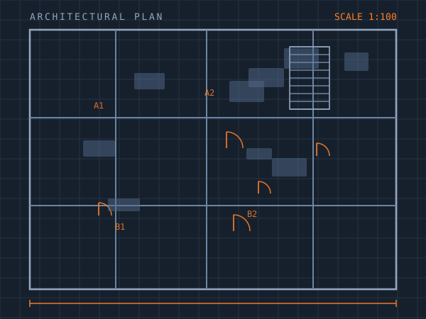
412-home residential permit programme
Rolling permit sets for a residential installer across four jurisdictions — site plan, roof layout, string diagram, structural attachment detail and equipment schedule per home.
AHJ comment rate fell from 31% to under 4% within one quarter.
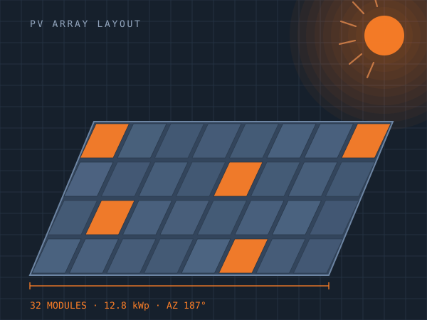
8.6 MW commercial rooftop concept to permit
Yield modelling, structural loading coordination, single-line diagrams and a full permit package for a distribution-centre roof spanning six buildings.
Approved without technical revision; construction issue in eleven weeks.
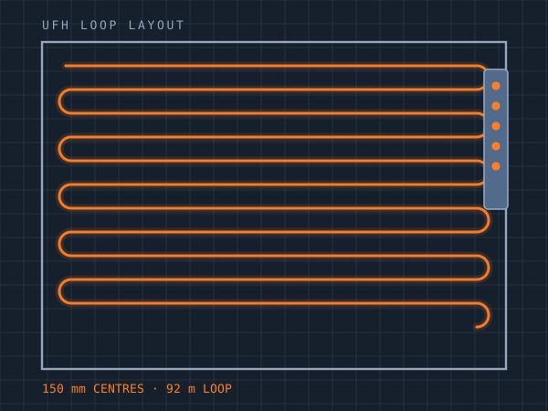
Heat loss and loop design, 240-plot development
Room-by-room heat-loss calculations to BS EN 12831, pipe loop layouts, manifold positions, zoning schedule and commissioning data for every plot type.
Next-morning turnaround maintained across the whole eighteen-month build.
Retrofit UFH into a listed hotel
Low-profile system design over existing timber floors, build-up coordination with the conservation architect, flow and return schedules and a full tender quantity take-off.
Design accepted by conservation officer at first submission.
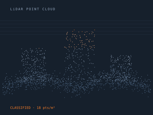
Revit model production, 22-storey mixed use
Architectural and structural modelling from consultant drawings to LOD 350, sheet set production, schedules and a federated model coordinated against MEP.
1,180 clashes resolved before tender issue.
Three dedicated CAD seats, MEP consultancy
Coordinated mechanical and electrical services drawings, plant room layouts, riser diagrams and as-built updates across a live project portfolio.
Running continuously since 2022 with the same three engineers.
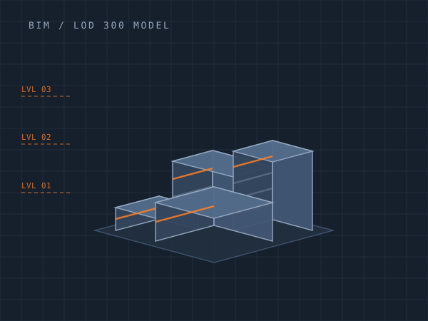
Cadastral digitisation, 11 municipalities
Legacy paper record scanning, georeferencing, parcel polygon digitisation, attribute capture from tax records and topology validation across 96,000 parcels.
Delivered on schedule with attribute accuracy above the 99.5% target.
Water network asset capture and attribution
Field data and as-built record consolidation into a validated PostGIS network — mains, valves, hydrants, chambers and meters with connectivity rules enforced.
Network became traceable end to end for the first time.

Bare-earth classification, 1,340 km²
Airborne LiDAR classification to ground, vegetation tiers, buildings and water, hydro-flattening and breakline extraction, delivered as LAS 1.4 plus a 1 m DTM.
All 40 tiles passed independent client QA on first submission.
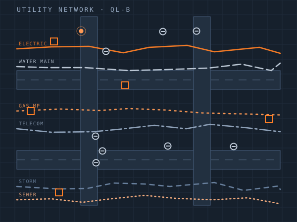
Mobile mapping of a 210 km rail corridor
Trajectory adjustment, classification of track, ballast, catenary, signals and structures, plus clearance envelope extraction and cross-sections at 20 m intervals.
Clearance exceedances identified at 37 discrete locations.
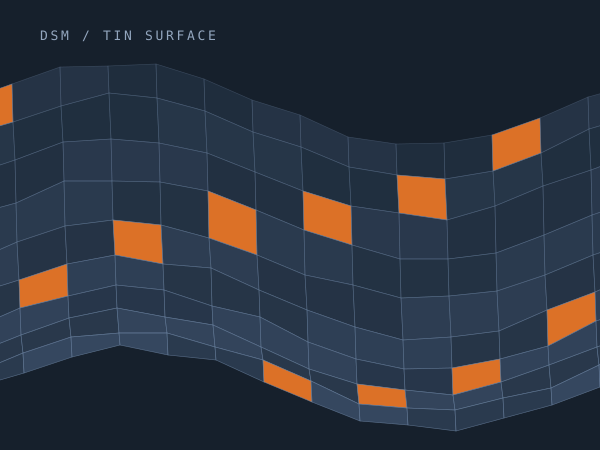
Aerial triangulation and orthophoto, 2,800 km²
Block adjustment of 6,400 frames against 180 ground control points, DTM/DSM generation and a seamless 10 cm true-orthophoto mosaic with colour balancing.
RMSE held within 0.6 pixel across the full block.
Planimetric compilation for a city base map
Stereo compilation of buildings, pavement edges, kerbs, driveways, hydrography and utility surface features across 190 km² to a 1:1,200 mapping standard.
Feature completeness verified at 99.2% against field audit.
No projects in that category yet — try another filter.
Client names and site locations are withheld under NDA. Redacted samples of any deliverable below can be shared on request.
Ask for redacted samples in your discipline
We will send genuine deliverables — drawings, models, classified tiles — with client identifiers removed, under NDA.