
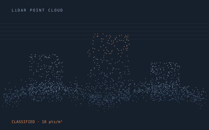
LiDAR
LiDAR processing is where accuracy specifications are either met or quietly missed. A classified tile can look immaculate in a profile view and still fail QA because low vegetation was swept into ground, because a hydro-flattened lake surface sits above its inflow, or because classification is inconsistent across flight-line overlap.
We process to a written specification and verify against it. Ground classification is checked in profile across the full range of terrain types in the block, not just the easy ones. Overlap consistency, vertical accuracy against independent control, void and density analysis, and class-by-class review all happen before delivery, and the QC report ships with the data.
Airborne, mobile, terrestrial and bathymetric, at volumes from a single corridor to national mapping blocks — and the deliverable is the classified cloud plus the derivatives you actually use.
Scope at a glance
- ASPRS-compliant classification to the agreed class schema
- Bare-earth extraction with hydro-flattening and breakline capture
- Vertical accuracy verification against independent control
- Flight-line overlap consistency and void analysis
- DTM, DSM, intensity and derivative raster production
- LAS 1.2 / 1.4, LAZ, COPC and geodatabase delivery
What we produce under LiDAR
Each of these can be bought on its own, or bundled into a rolling monthly programme with a dedicated team.
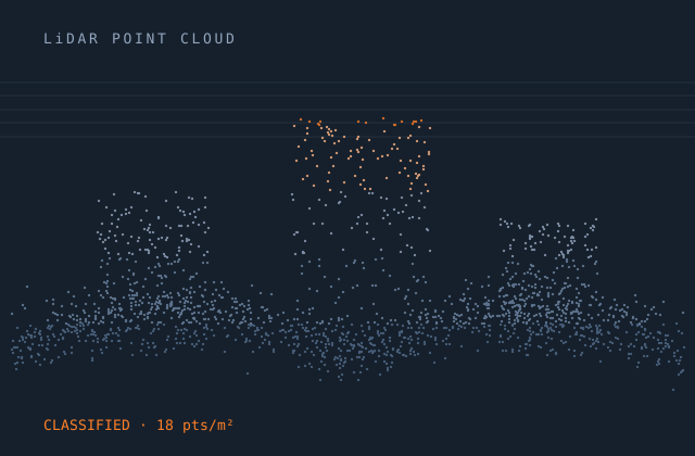
Bare Earth Classification
Ground extraction, hydro-flattening and DTM production verified against control.
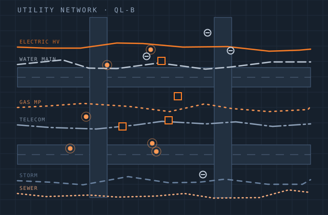
Utility Classification
Conductor, structure and vegetation classification with clearance and encroachment analysis.
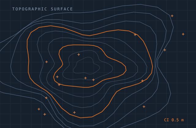
Bathymetry Classification
Topobathymetric processing, water surface modelling and seamless land-to-seabed surfaces.
Mobile Mapping
Vehicle and backpack LiDAR processing for corridors, highways, rail and urban survey.
Need this service combined with another? One contract covers all nine.
Request a quoteOther practice areas
Most clients start in one area and grow into two or three. Everything below is produced by the same in-house teams under one contract.
Try us on one lidar job
Send a single file — a survey, a sketch, a scope note or a point-cloud tile. We quote it, produce it, and you judge the quality before committing to anything larger.