
Topographic Mapping
Topographic mapping is the substrate everything else sits on. Design, planning, hydrology, environmental assessment and construction setting-out all depend on it, which makes inconsistency expensive downstream in ways that are hard to trace back.
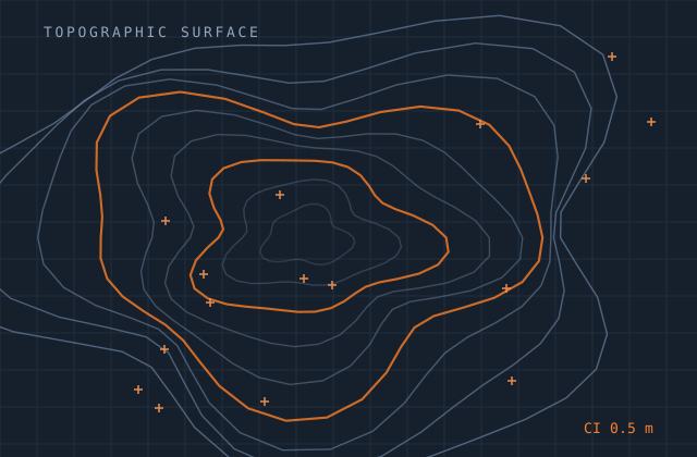
We compile topographic mapping from survey observations, LiDAR, stereo imagery or existing datasets, to a stated feature specification and accuracy class. Contours are generated from a properly conditioned surface with breaklines respected, not interpolated across a bare grid — so ridges stay sharp and watercourses stay continuous.
Feature classification follows your specification exactly, including the awkward cases: what counts as a track versus a path, how vegetation boundaries are drawn, where a bank becomes a wall. Those decisions get documented so the dataset stays consistent across sheets and across years.
What you receive
Every item below is issued in your own template, with your layer conventions, title block and revision scheme.
- Planimetric feature compilation to your feature specification
- Spot heights and levels at the specified density
- Contours at the required interval with index contours annotated
- Breakline capture — ridges, valleys, kerbs, walls, embankments
- TIN or grid surface model with the conditioning documented
- Hydrographic features with flow continuity enforced
- Vegetation, land-cover and surface-type boundaries
- Map sheet production with grid, legend and title block
- Metadata to ISO 19115 or your project profile
Production detail
| Typical turnaround | 2–6 weeks by area and scale |
|---|---|
| Mapping scales | 1:200 to 1:25,000 |
| Contour intervals | 0.1 m to 10 m as specified |
| Vertical accuracy | To the stated class, verified against control |
| Input accepted | Total station and GNSS survey, LiDAR, stereo imagery, existing data |
| Output formats | DWG, DXF, GDB, SHP, LandXML, GeoTIFF, PDF sheets |
| Revisions | Two rounds included |
Software and formats
We work in your toolchain. If something you use is not listed, ask — the list below is only what we use most.
Frequently asked
Send one topographic mapping job and see how we work
Scope, price and programme come back in writing before anything starts. Most first projects are a single deliverable so you can judge us on output, not on a pitch.