
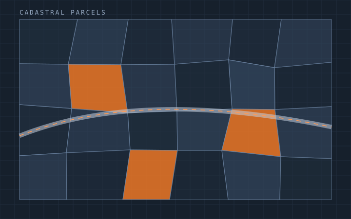
GIS
A GIS dataset is only as good as its worst attribute. Beautifully digitised geometry with inconsistent classification, unenforced topology or null values in the fields your analysis depends on is a liability — it looks authoritative and cannot be trusted.
We produce GIS data against a written specification: coordinate reference system, capture tolerance, feature schema, domain values, topology rules and completeness criteria all agreed before production starts. Validation is automated where it can be and manual where it has to be, and the QC report ships with the data.
Work spans utility networks, cadastral and land-record programmes, topographic base mapping and land-use classification, at volumes from a single site to national programmes running over years.
Scope at a glance
- Feature schema design, domains and topology rule definition
- Digitisation and attribution from imagery, scans and field data
- Coordinate transformation and datum handling with residual reporting
- Automated validation plus manual QC with a delivered report
- Enterprise geodatabase, PostGIS and file-based delivery
- FME and Python automation for repeatable production pipelines
What we produce under GIS
Each of these can be bought on its own, or bundled into a rolling monthly programme with a dedicated team.
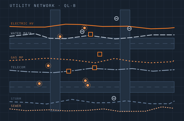
Utility Mapping
Network asset capture, attribution and connectivity for water, gas, power and telecom.
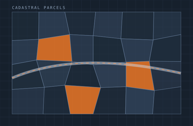
Cadastral Mapping
Parcel digitisation, georeferencing and attribute linkage for land-record programmes.
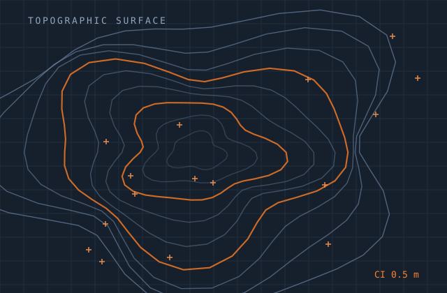
Topographic Mapping
Base mapping, contour generation and feature compilation at engineering and planning scales.
Land Use / Land Cover
Classification and change detection for planning, environmental and agricultural programmes.
Need this service combined with another? One contract covers all nine.
Request a quoteOther practice areas
Most clients start in one area and grow into two or three. Everything below is produced by the same in-house teams under one contract.
Try us on one gis job
Send a single file — a survey, a sketch, a scope note or a point-cloud tile. We quote it, produce it, and you judge the quality before committing to anything larger.