
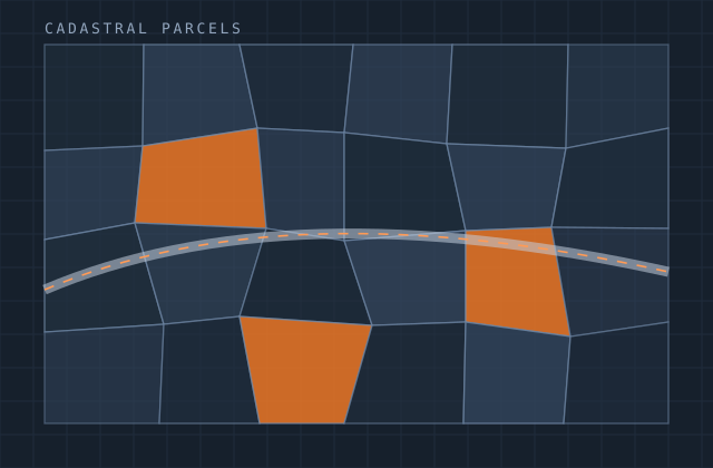
Cadastral Mapping
Cadastral programmes are dominated by the quality of the source material. Historic maps at unknown scale, mutation sketches, tracings of tracings, records where the written description and the drawn boundary disagree. The digitisation is the easy part; the reconciliation is the work.
We handle cadastral production at programme scale — scanning and georeferencing legacy sheets with residuals reported per sheet, digitising parcel geometry with topology enforced so there are no gaps or overlaps, and linking parcels to the textual record so ownership, area and tax data resolve against the right polygon.
Where the map and the record disagree, we do not adjudicate. We document the discrepancy for the authority to resolve, because that decision is legal, not technical, and pretending otherwise creates problems that surface years later.
What you receive
Every item below is issued in your own template, with your layer conventions, title block and revision scheme.
- Scanned and georeferenced source sheets with per-sheet residual report
- Parcel polygon digitisation with topology fully enforced
- Parcel identifier assignment on the authority's numbering scheme
- Attribute capture and linkage to the textual land record
- Area computation and comparison against the recorded area
- Discrepancy register where map and record disagree
- Sheet-edge matching and seamless mosaic assembly
- Mutation and subdivision history handling where required
- Delivery to geodatabase or PostGIS with validation report
Production detail
| Typical turnaround | Programme-based; 8,000–15,000 parcels per month per team |
|---|---|
| Georeferencing | Residuals reported per sheet against the project tolerance |
| Topology | No gaps, no overlaps, closed polygons, validated |
| Area tolerance | Recorded versus computed compared and reported per parcel |
| Attribute accuracy | Double-entry verification on key fields; 99.5%+ typical |
| Output formats | GDB, SHP, GeoPackage, PostGIS, DXF, PDF map sheets |
| Revisions | Included per batch until validation passes |
Software and formats
We work in your toolchain. If something you use is not listed, ask — the list below is only what we use most.
Frequently asked
Send one cadastral mapping job and see how we work
Scope, price and programme come back in writing before anything starts. Most first projects are a single deliverable so you can judge us on output, not on a pitch.