
- Home
- Services
- Photogrammetry
- Orthophoto Generation
Orthophoto Generation
Seamless colour-balanced mosaics, including true-ortho with building lean removed.
Orthophoto Generation
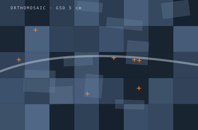
An orthophoto is judged on the things that are easy to see: whether roads line up across seamlines, whether buildings lean, whether one tile is noticeably bluer than its neighbour, whether shadows and moving vehicles have been cut through awkwardly. Users forgive geometric error more readily than visible seams.
We produce orthophotos with attention to both. Rectification uses the edited terrain model, and for true-ortho a DSM so building lean is genuinely removed rather than merely reduced. Seamlines are placed to follow features and avoid structures, not left on the automatic solution. Colour and radiometric balancing is applied across the whole block so it reads as one capture.
Delivered as tiles on your grid, or as a seamless mosaic dataset with the tiling and compression your systems actually want, plus web-ready pyramids where the imagery is going onto a map service.
What you receive
Every item below is issued in your own template, with your layer conventions, title block and revision scheme.
- Rectified orthophoto at the specified ground sample distance
- True-orthophoto with building lean removed using a DSM
- Manually edited seamlines following features and avoiding structures
- Radiometric and colour balancing across the full block
- Tone, contrast and shadow adjustment for visual consistency
- Seamless mosaic dataset or tiles on your delivery grid
- Compression and pyramid generation for web and desktop use
- Positional accuracy verification against independent check points
- Cloud, haze and artefact masking where present
- Metadata to ISO 19115 with full processing lineage
Production detail
| Typical turnaround | 2–5 weeks by area and GSD |
|---|---|
| GSD range | 2 cm (UAV) to 50 cm (satellite) |
| Positional accuracy | Typically within 1–2 pixels, verified against check points |
| True-ortho | Available where a DSM of adequate quality exists |
| Output formats | GeoTIFF, JPEG2000, ECW, MrSID, COG, mosaic dataset |
| Tiling | Your delivery grid or a standard scheme |
| Revisions | Two rounds included |
Software and formats
We work in your toolchain. If something you use is not listed, ask — the list below is only what we use most.
Frequently asked
Send one orthophoto generation job and see how we work
Scope, price and programme come back in writing before anything starts. Most first projects are a single deliverable so you can judge us on output, not on a pitch.