
- Home
- Services
- Photogrammetry
- Planimetry
Planimetry
Stereo feature compilation to a defined specification, with completeness verified.
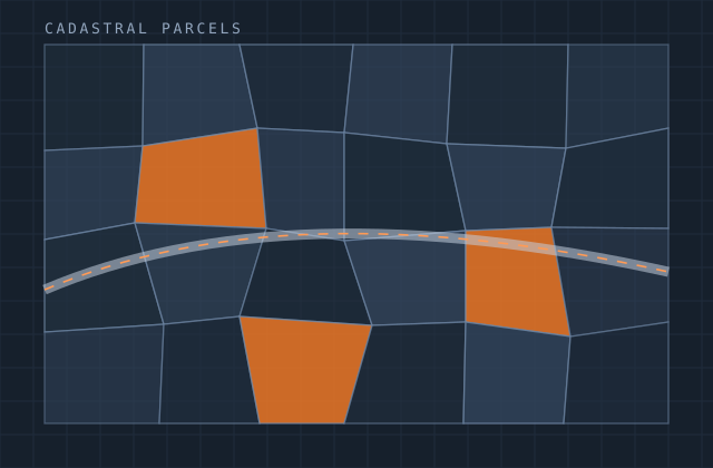
Planimetry
Planimetric compilation is skilled interpretation work, and its quality depends almost entirely on how rigorously the feature specification is applied. Where does a driveway end and a parking area begin? Is a building's footprint at eave or at wall? Is that a track or a path? Inconsistent answers across a project produce a dataset nobody can analyse.
We compile in stereo to a written feature specification, with the ambiguous cases documented as decision rules during a calibration phase at the start of the project. Every compiler on the job works to the same rules, and the checker verifies against them rather than against personal preference.
Completeness is verified by systematic re-examination of a sample against the imagery, reported as a percentage by feature class. Positional accuracy is checked against independent survey where available.
What you receive
Every item below is issued in your own template, with your layer conventions, title block and revision scheme.
- Building footprints captured at the specified reference (eave or wall)
- Transportation — pavement edges, kerbs, driveways, tracks, paths, rail
- Hydrography with flow direction and connectivity where specified
- Utility surface features — poles, chambers, cabinets, pylons
- Land-cover and vegetation boundaries
- Walls, fences, retaining structures and other linear features
- Point features to the specification's capture list
- Attribute capture including height where stereo supports it
- Feature decision-rule document agreed at project calibration
- Completeness and positional accuracy report by feature class
Production detail
| Typical turnaround | 150–400 km² per month per team by feature density |
|---|---|
| Mapping scales | 1:500 to 1:10,000 |
| Typical completeness | 98–99.5% verified by sample audit |
| Positional accuracy | To project specification, verified against survey where available |
| Specifications worked to | Yours, or national mapping standards |
| Output formats | DGN, DWG, GDB, SHP, GeoPackage |
| Revisions | Included until completeness target is met |
Software and formats
We work in your toolchain. If something you use is not listed, ask — the list below is only what we use most.
Frequently asked
Send one planimetry job and see how we work
Scope, price and programme come back in writing before anything starts. Most first projects are a single deliverable so you can judge us on output, not on a pitch.