
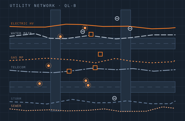
Utility Classification
Transmission and distribution corridors are the highest-value LiDAR application and the least forgiving. The question is not how the cloud looks — it is whether a specific conductor at a specific temperature clears a specific tree by the margin the regulator requires, and whether that answer can be defended.
We classify corridor data into conductors by phase and circuit, structures, insulators, shield wires, ground and vegetation tiers, then model conductor catenaries so clearance can be assessed at operating and maximum design temperature rather than only at the surveyed condition.
Vegetation encroachment is reported against your clearance envelope, prioritised by severity and location, in a format your field crews can work from directly. Growth-rate projection is available where species and historic data support it, which turns a compliance report into a maintenance plan.
What you receive
Every item below is issued in your own template, with your layer conventions, title block and revision scheme.
- Classified corridor cloud — conductors by phase, structures, insulators, shield wire
- Ground, vegetation tiers, buildings and other corridor features
- Conductor catenary modelling with sag and blowout at specified conditions
- Clearance analysis at operating and maximum design temperature
- Vegetation encroachment report by severity, span and structure
- Structure inventory with attributes and per-structure geolocation
- Span-by-span profile drawings
- Growth projection and maintenance prioritisation where data supports it
- GIS deliverable of features, spans and encroachments
Production detail
| Typical turnaround | 200–600 km of corridor per month per team |
|---|---|
| Voltage classes | Distribution through EHV transmission |
| Clearance standards | NESC, NERC FAC-003, ENA / DNO standards, IEC, local codes |
| Catenary modelling | At surveyed, operating and maximum design temperature |
| Encroachment output | Prioritised, geolocated, field-crew ready |
| Output formats | LAS / LAZ, SHP, GDB, DWG profiles, XLSX and PDF reports |
| Revisions | Two rounds included |
Software and formats
We work in your toolchain. If something you use is not listed, ask — the list below is only what we use most.
Frequently asked
Send one utility classification job and see how we work
Scope, price and programme come back in writing before anything starts. Most first projects are a single deliverable so you can judge us on output, not on a pitch.