
Mobile Mapping
Mobile mapping trades absolute accuracy for extraordinary coverage rate. The processing challenge is recovering that accuracy: GNSS degradation under canopy and in urban canyons, IMU drift on long runs, and misalignment between overlapping passes all have to be resolved before any feature extraction is worth doing.
We process from raw trajectory and scanner data — tightly coupled trajectory adjustment, strip adjustment between passes, control tie-in and residual reporting — before classifying and extracting. Getting that order right matters; features extracted from an unadjusted cloud inherit every trajectory error.
From there we extract what you need: road and rail asset inventories, kerb and edge-of-pavement strings, signage and furniture, clearance envelopes, surface condition surfaces and cross-sections at whatever interval the design requires.
What you receive
Every item below is issued in your own template, with your layer conventions, title block and revision scheme.
- Trajectory adjustment and strip alignment with residual report
- Control tie-in and absolute accuracy verification
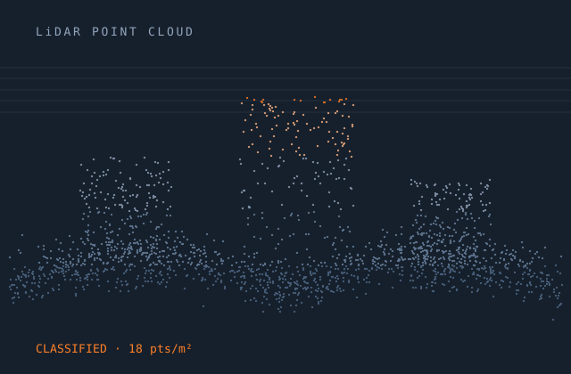
- Classified cloud — road surface, kerb, vegetation, structures, furniture, wires
- Feature extraction — signs, poles, drainage, markings, barriers
- Rail-specific extraction — track centreline, cant, ballast, catenary, clearance envelope
- Kerb, edge-of-pavement and channel strings as 3D polylines
- Cross-sections at the specified interval
- Surface model and pavement condition raster
- Asset inventory with attributes and geolocation
- Panoramic imagery linkage where imagery was captured
Production detail
| Typical turnaround | 150–400 km per month per team by extraction depth |
|---|---|
| Platforms handled | Vehicle-mounted, rail trolley, backpack, handheld SLAM |
| Absolute accuracy | Typically 2–5 cm with good control; reported against check points |
| Relative accuracy | 1–2 cm within a pass |
| Extraction interval | Cross-sections at 5 m to 50 m as specified |
| Output formats | LAS / LAZ, RCP, E57, DWG, GDB, SHP, LandXML, GeoTIFF |
| Revisions | Two rounds included |
Software and formats
We work in your toolchain. If something you use is not listed, ask — the list below is only what we use most.
Frequently asked
Send one mobile mapping job and see how we work
Scope, price and programme come back in writing before anything starts. Most first projects are a single deliverable so you can judge us on output, not on a pitch.